Around this time, a few years back, we had just pulled into Wilson’s Promontory, the first stop on our attempt at kayaking Bass Strait. It had been a long day of paddling, but the trip to the start point, with four sea kayaks from Perth, had been much longer.

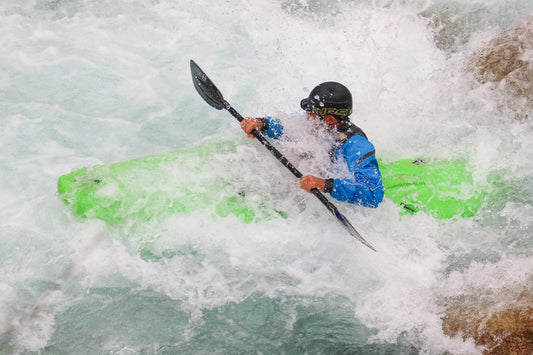
My friends Hew, Mark, Pete and I are more whitewater kayakers, but sea kayak regularly to pass the long months where there is little whitewater in the west.
A casual ‘we should paddle Bass Strait someday’ was mentioned as we glided across the calm waters off Fremantle one evening, and from that point everyone just seemed to start getting organised.


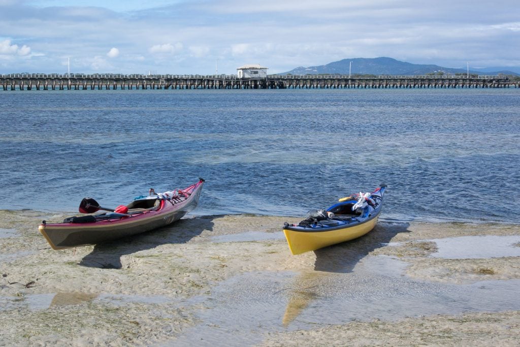
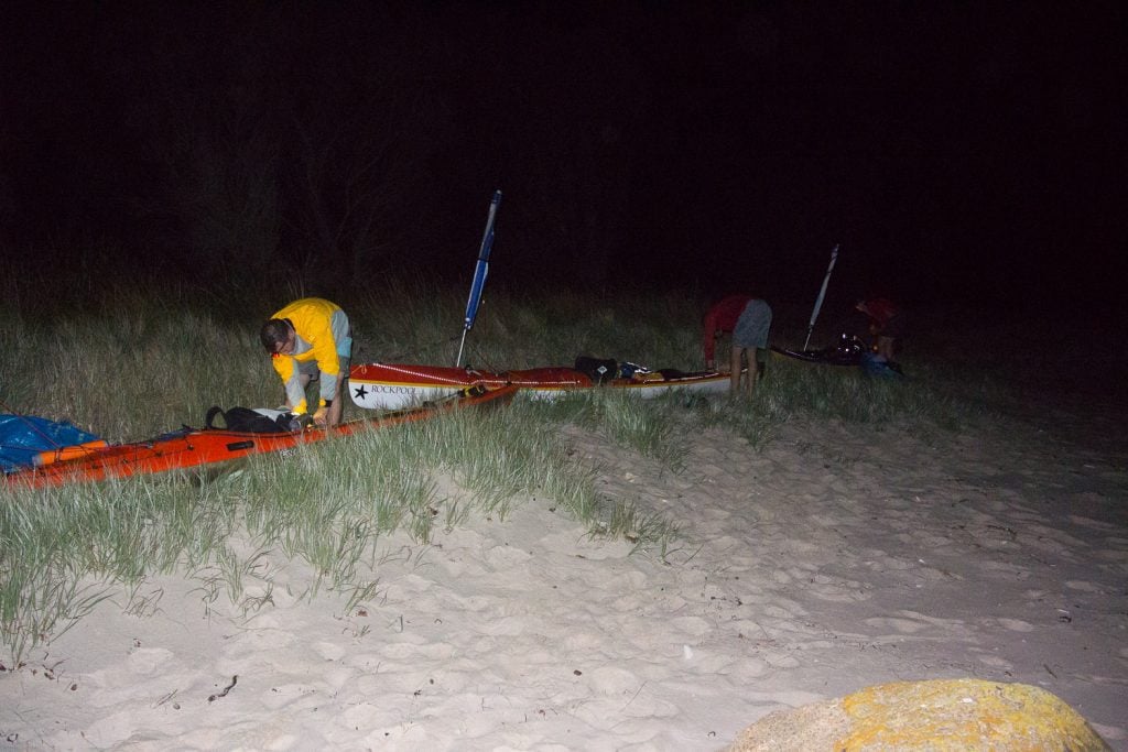
The following March we were on the beach attempting to stuff two weeks of supplies and camping gear into our 


From our first night near Horn Point, we turned the compass toward Hogan Island, some 50 kilometres from the Australian mainland.

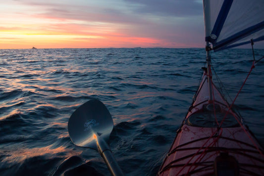
We couldn’t have asked for better weather. But there was soon a point where I couldn’t see Hogan Island ahead, and could barely see the mainland behind, it dawned on me that crossing that kayaking Bass Strait with no power or sail boat support may have been one of my more questionable life choices.


Our next push was toward Erith Island. The conditions were looking good, and it looked to be a relatively easy 37-kilometre day, which it was for Hew, Mark and Pete.

For me though, it was my toughest day of the trip. I’d woken up feeling nauseous, perhaps dehydrated from the previous day’s sun. We had time up our sleeve, but the weather wasn’t looking great for the following couple of days, and we were keen to get a little further before beginning to eat into our spare days.
I decided to take an anti-nausea tablet and see how I went. It helped with nausea, but made me dangerously sleepy and with it, my paddling slow. My patient mates looked after me, and at about the two-third point Mark offered me a bunch of snakes. The sugar hit worked, and my pace improved. A strong tailwind also kicked in, which meant we could use our sails to propel us toward the Island. We made it, but I was spent.


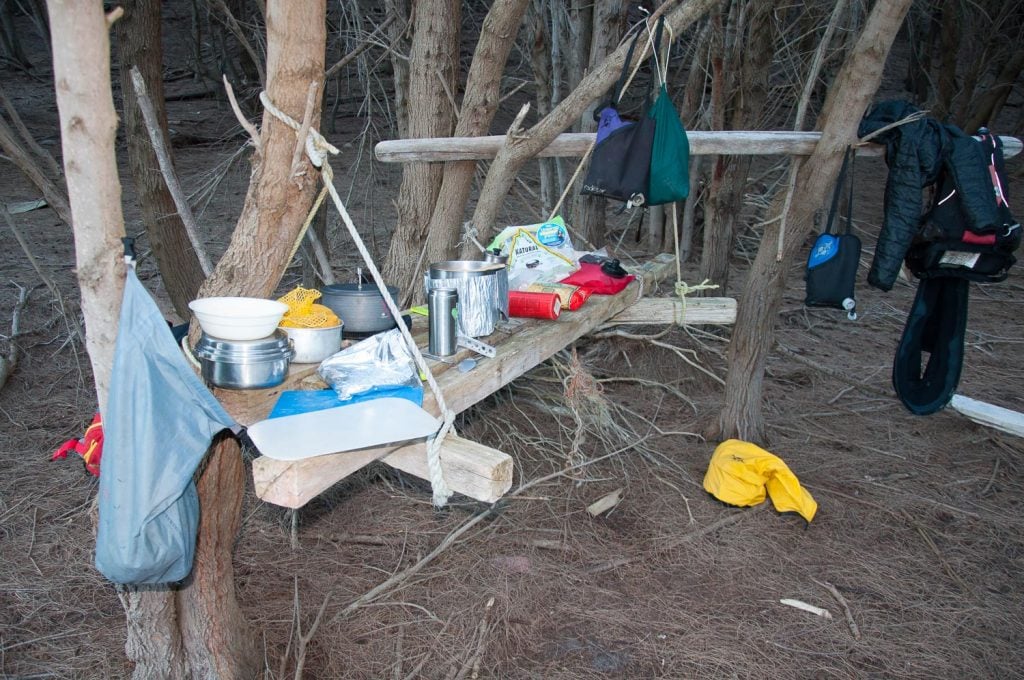
With a bad weather forecast, we spent the next day on stunning Erith Island. I was grateful for the rest, and Pete’s fry ups of cured meats soon had me feeling strong again.

Erith Island sits tightly beside the larger Deal Island. On the other side of Deal lay our longest ocean crossing, so we had a leisurely day re-positioning camp from Erith to around to Winter Cove on Deal Island ready. We then had a great day exploring the island.


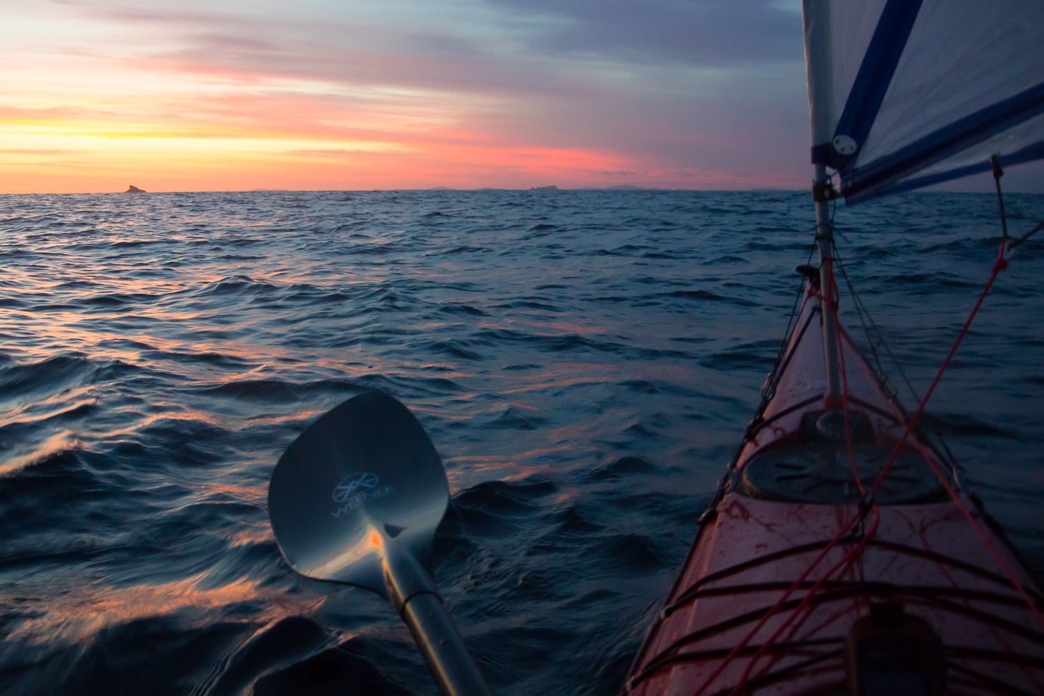
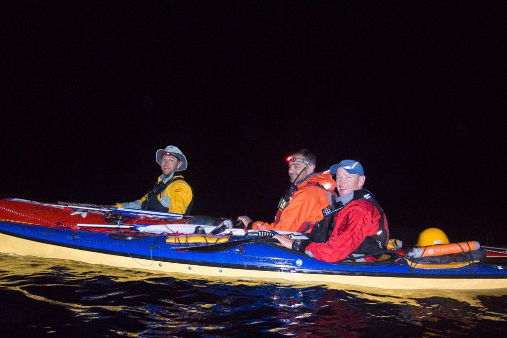
With 58 straight-line kilometres ahead (which balloons with the influence of wind and current) we hit the water at 3 am and headed off into the dark, towards Flinders Island.
We had a dream start, and by sunrise, we were at Wright Rock, and over one-third of the way across.

With no place to land Craggy Island offers no rest, but it meant we were two thirds in, and on the right track. From Craggy Island a strong sideways current comes into play, but a strong favourable wind meant our sails had good power and our final run into Flinders was a hoot as we all surfed the wind swells into shore.
This big crossing had been on our minds, and it was a huge relief to have it behind us.

The trip had an altogether more relaxed feel to it with the big crossings behind us. Over the days to follow we headed south along the coast of Flinders Island with stops at Roydon Island, the town of Whitemark and Trousers Point where we hiked up Mount Strzelecki.
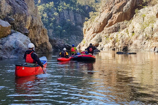
With time to spare we made a side trip, and paddled through the breathtaking Franklin Sound to the town of Lady Barron.


With more weather inclement weather forecast we paddled for two big days to Preservation Island, positioned ready for our final crossing to Tasmania.

We set off in the dark once more. Navigate in pitch black in the open ocean is one thing, there’s nothing to run into, coming along the coast of Clarke Island was something entirely different. If it wasn’t for Pete’s headlamp, the brightest I’ve ever seen, I’m sure we would have hit rocks or at least reef. We still almost did!
From Lookout Head to Tasmania at Little Musselroe Bay is just 20 kilometres. But the Banks Strait is different. The current roars sideways one way before slowing down and raging back in the other direction.
We timed the transition and made a good start but about a third of the way across the current start to build. The water was starting to boil and eddy like whitewater, it was really challenging conditions.
As we start to get pushed off course at first we tried to fight it, like a swimmer against a rip, we then relaxed course and pushed harder at the mainland, knowing the currents are much gentler closer to shore and we could back along the coast there.

We’d made it, not just across the Banks Strait, but across the Bass Strait. It was a paddling trip I’ll never forget!