Hay River Track

Jol Fleming pioneered the Hay River Track in 1999. Following the line of the Hay River they set course for Camp 15 on the Madigan Line and began bush bashing. Following the successful first exploratory trip, Jol worked together with the Traditional Owners to negotiate access to what is now now known as the Hay River Track for all travellers by permit.

Hay River Track

From last fuel at Jervois Station on the Plenty Highway we bounced along the bone chattering corrugations to Batton Hill Camp. Camping a night at Batton Hill is a permit stipulation. We happily paid our camp fees, but having arrived early in the day asked if it was ok to continue travelling. We received a warm “no worries” and continued on our way.

Hay River Track

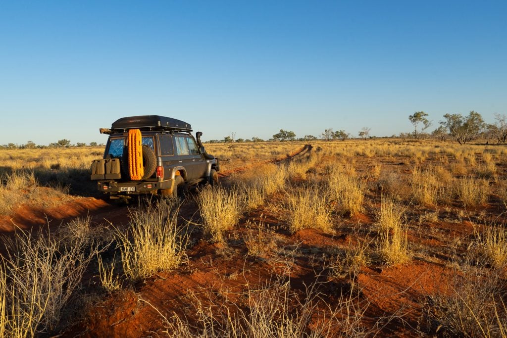
Soon after it felt like the trip had begun in earnest. The dry, but tree lined, Hay River flanked the track on our right, and bar the two narrow wheel ruts we followed, all signs of humanity quickly disappeared.

Hay River Track

That first sunset on the track was incredible. We kept travelling, not because we were in a rush, or had someplace to reach, but simply because we were enjoying watching this stunning landscape transform.

Hay River Track

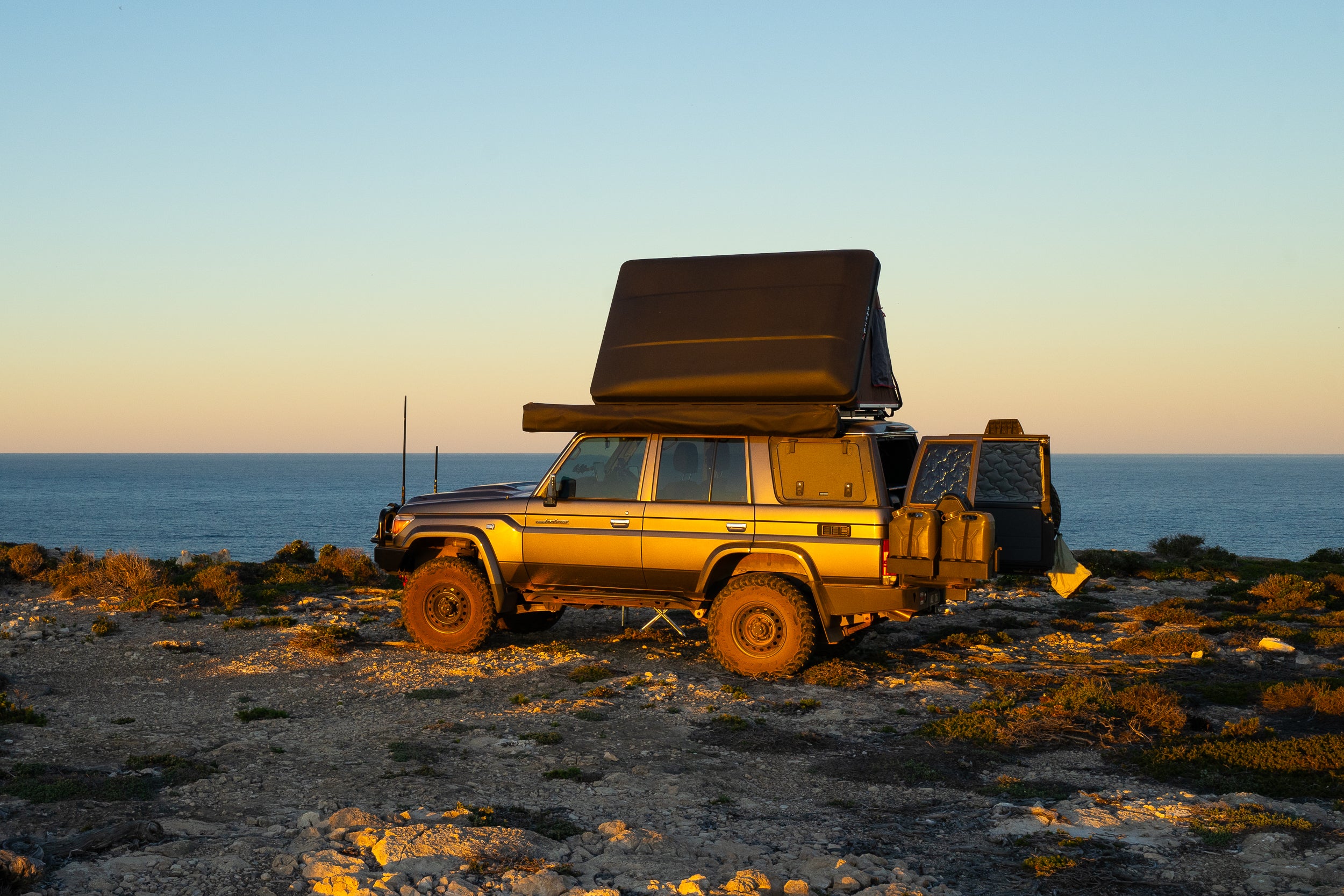
Nights beside the campfire in places like this are truly unforgettable. Surrounded by desert. Nobody. An enormous star filled sky above.

Hay River Track

In the northern section the Hay River bed is obvious and the stunning gums, although seemingly out of place for a desert, provide welcome shade and a stunning setting for coffee, lunch and camp.

Hay River Track
Hay River Track

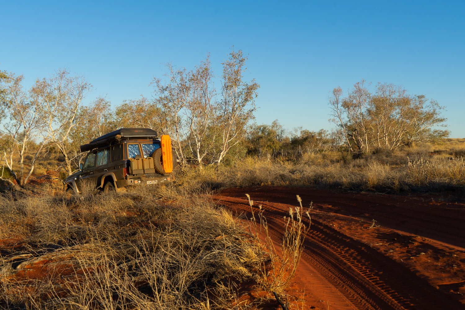
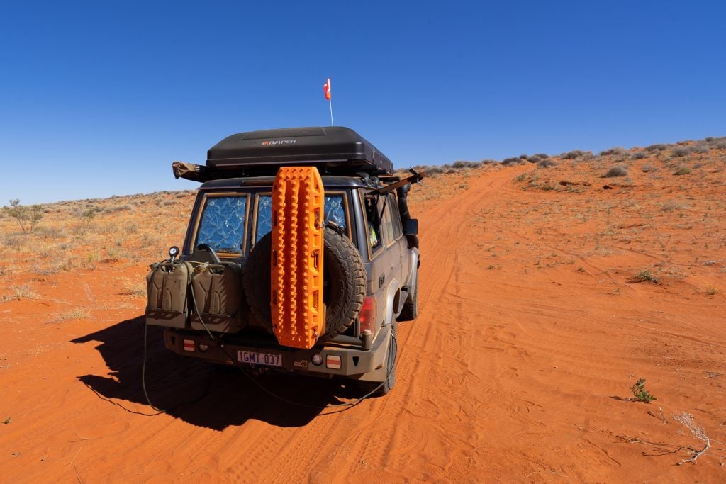
Further to the south the Hay River becomes imperceptible. The track runs mostly parallel to the emerging dunes, but darts over and back, searching for more effortless terrain.

Hay River Track
Hay River Track

The further south we travelled the larger, and redder, the dunes became. It’s this red that seems to get under people’s skin, drawing them back to the desert time and again. It’s a hard attraction to explain. Perhaps it’s something that simply needs to be experienced.

Hay River Track

Further south again lay some decent dune climbs. This section was the hardest driving of the track, with some soft sand and tight turns needing a combination of lower tyre pressures and a little momentum to ride up and over.

Hay River Track
Hay River Track
Hay River Track

After following their footprints for close to two days, we wondered if we would ever actually see a camel, and then there it was. This one looked like it had seen some hot desert summers, but wow it could move. Gen leaned over and took this picture as we drove beside him, and shortly after he headed over the dune and was gone.

Hay River Track

While the Hay River Track is a very achievable journey it receives less traffic than other Simpson Desert tracks like the QAA Line and French Line. It means pre-trip preparation focussed on the reliability of your vehicle is particular important. Likewise, assistance may not come quickly if required, so self-reliance, skills and communications equipment are vital.

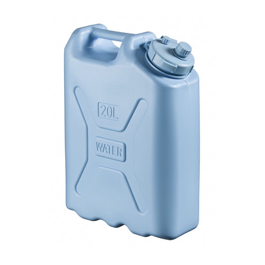
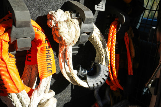
Our vehicle is well set up for remote travel and we are glad to have precautions like a satellite phone and PLB in places like this.

Hay River Track

After intersecting the Madigan Line the Hay River Track crosses a sea of sand dunes as it heads south toward Poeppel Corner which is the intersection of South Australia, the Northern Territory and Queensland.

Hay River Track
Hay River Track

If remote, pristine and quiet sound like your type of getaway, then we doubt you will regret a journey along the Hay River Track.

    Back to blog

    EXPLORE OUR SHOP

    ADVENTURE CURATED APP

    Escaping the responsibilities of everyday life isn’t easy. The Adventure Curated app brings fun to the planning process and is the perfect place to document your dream trips and get organised so they happen!

    Trip Planner is an iOS, macOS, Android and Web app. One subscription works on every device and can be shared by family members, plus your data cloud syncs, ready for you to continue your planning wherever you are.

    Learn More
    • Madigan Line

      Madigan Line

      The Madigan Line ended up on my bucket list after my first Simpson Desert trip with Gen. We had headed down the Hay River Track to Birdsville and then back...

      Madigan Line

      The Madigan Line ended up on my bucket list after my first Simpson Desert trip with Gen. We had headed down the Hay River Track to Birdsville and then back...

    • Anne Beadell Highway

      Anne Beadell Highway

      On a whim, I decided I needed some desert time. I had my eye on the Madigan Line in the Simpson Desert and settled on the Anne Beadell Highway as...

      Anne Beadell Highway

      On a whim, I decided I needed some desert time. I had my eye on the Madigan Line in the Simpson Desert and settled on the Anne Beadell Highway as...

    • MAXTRAX Indeflate

      MAXTRAX Indeflate

      The MAXTRAX Indeflate is a straightforward tool for airing up and down that can be operated standing. We reviewed the Indeflate when it was first released in 2018. Recently Indeflate...

      MAXTRAX Indeflate

      The MAXTRAX Indeflate is a straightforward tool for airing up and down that can be operated standing. We reviewed the Indeflate when it was first released in 2018. Recently Indeflate...

    1 of 3
    • Piccaninny Gorge

      Piccaninny Gorge

      Within the World Heritage-listed Purnululu National Park lies the spectacular Piccaninny Gorge, the largest within the Bungle Bungle Range. It’s a multi-day hike, one of the few places you’re likely...

      Piccaninny Gorge

      Within the World Heritage-listed Purnululu National Park lies the spectacular Piccaninny Gorge, the largest within the Bungle Bungle Range. It’s a multi-day hike, one of the few places you’re likely...

    • Overland Track

      Overland Track

      To describe Cradle Mountain as magical is an understatement, but the mystery of what lies further into this wilderness lured us to tackle the Overland Track. A short year after...

      Overland Track

      To describe Cradle Mountain as magical is an understatement, but the mystery of what lies further into this wilderness lured us to tackle the Overland Track. A short year after...

    • How to Source and Use Topographical Maps

      How to Source and Use a Topographic Map

      I’ve never met a person who doesn’t love looking at a map. Whether it’s a map of your local park, topographic map or a world globe, they give us opportunities...

      How to Source and Use a Topographic Map

      I’ve never met a person who doesn’t love looking at a map. Whether it’s a map of your local park, topographic map or a world globe, they give us opportunities...

    1 of 3