Fringing the Southern Ocean and bang on the Western Australia and South Australia border lies the Eucla National Park’s remote landscape.

Eucla National Park

With the WA/SA border due to open on Christmas Day, the Nullarbor will be busy again soon. Being such a big trip, it’s tempting to blast straight through, but there’s some great stops close to the Eyre Highway like here at Eucla National Park.

Eucla National Park

There are some great bigger side trips out to places like the Baxter Cliffs too. If you can schedule some extra time, we doubt you’ll regret it.

The entrance to the park is essentially the ruins of the Eucla Telegraph Station. There are ruins like these across the Nullarbor.

Eucla National Park

At Israelite Bay, we’ve seen similar ruins, and at the Eyre Bird Observatory, the station has been restored and houses the Birds Australia research station.

Eucla National Park

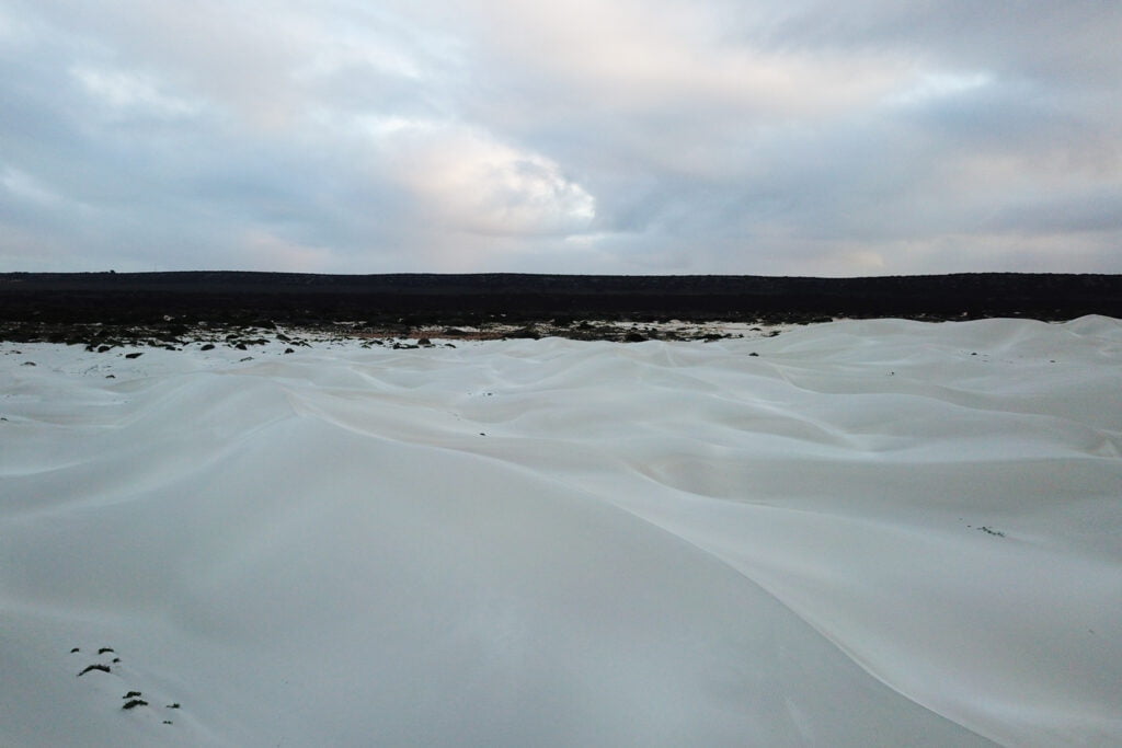
Squeezing through the greenery, I tracked south in search of the Delisser dune system.

Eucla National Park
Eucla National Park

The tracked softened before continuing to the expansive dunes and then cliffs of the Great Australian Bight further east still.

Eucla National Park
Eucla National Park

Halfway across Australia, nobody, stunning dunes and wild ocean make for a breathtaking place. Much about the Eucla National Park seems like a mini version of the Bilbunya Dunes that lie further to the west.

Eucla National Park

The park is roughly 3,340 hectares and is technically a Western Australian park. The eastern edge meets one of the cliff sections of the Great Australian Bight.

Eucla National Park

There’s something magical about large dune systems. The freshness and ever-changing shapes that are delivered by the strong coastal breezes. The reflection of colour as day transitions to night.

Eucla National Park

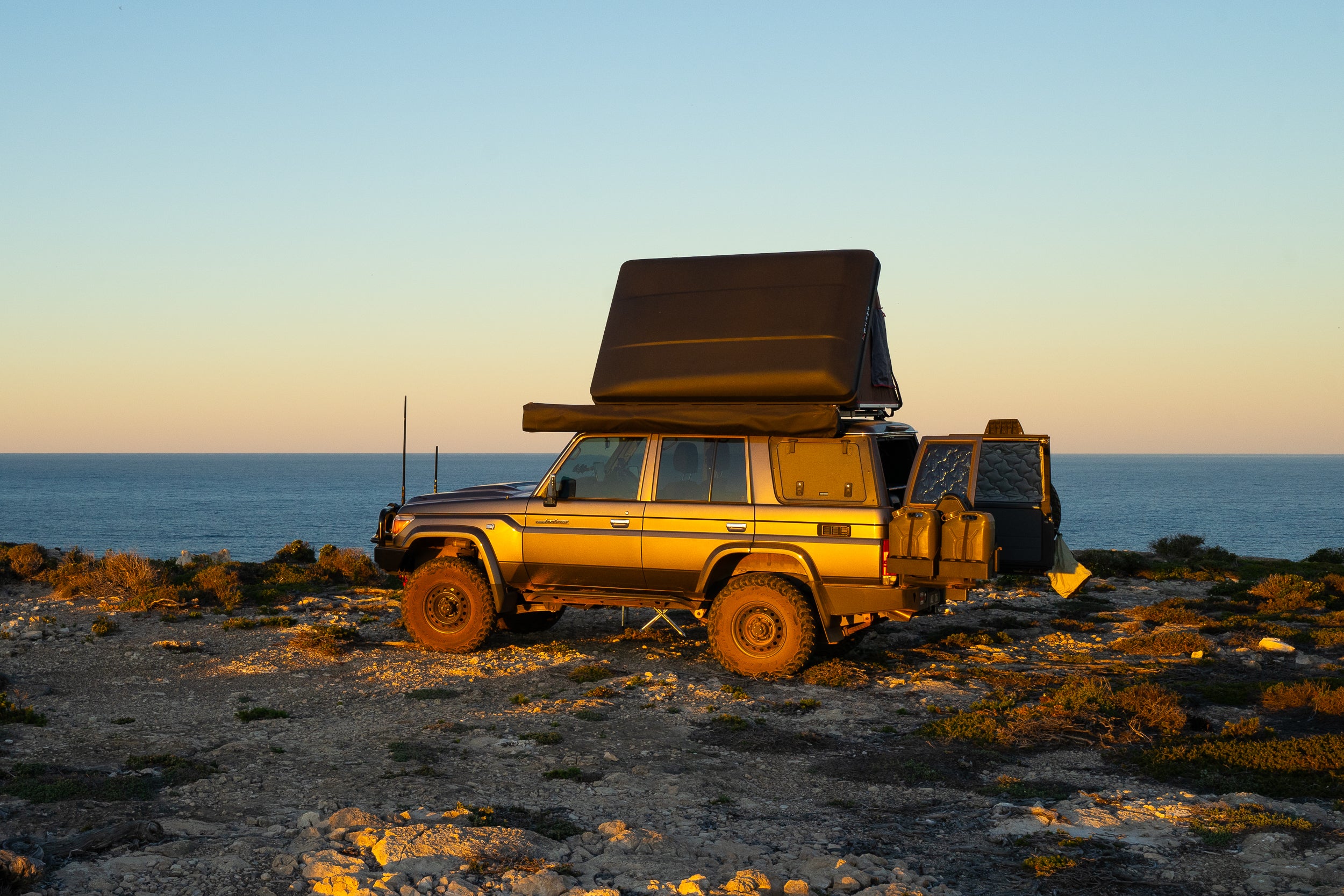
After driving from the Baxter Cliffs to Twilight Cove solo, my time at Eucla National Park was my last night of reflection before hitting the tarmac for the long trip home to Perth. There wasn’t a breath of wind – my favourite beach camping conditions!

Eucla National Park
Eucla National Park

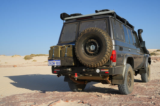
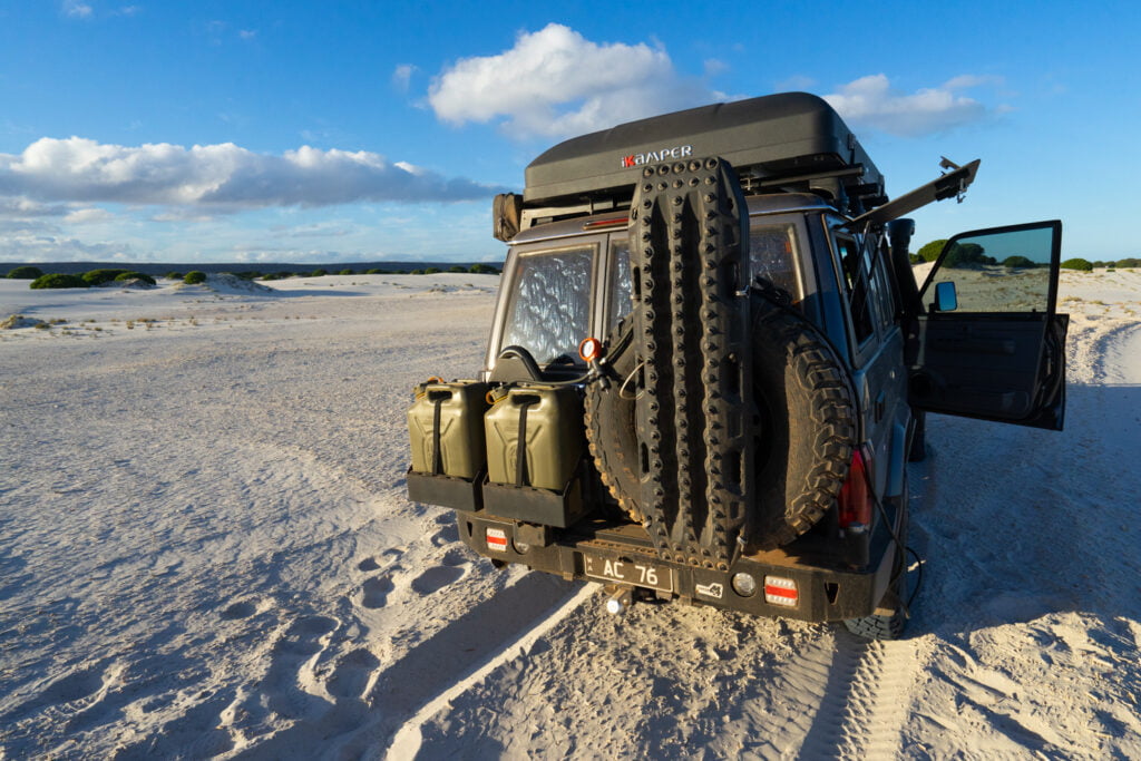
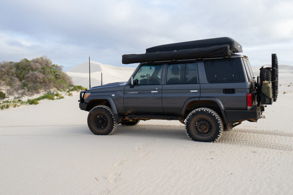
Coffee and pack up are quick with our LandCruiser’s travel setup which is handy as the first time in a while, I had an appointment; to pick up a camper for review from the closed border.

Eucla National Park

Being early, I decided to loop over the dunes on my way out. That was a mistake; I got bogged in no time!

Eucla National Park

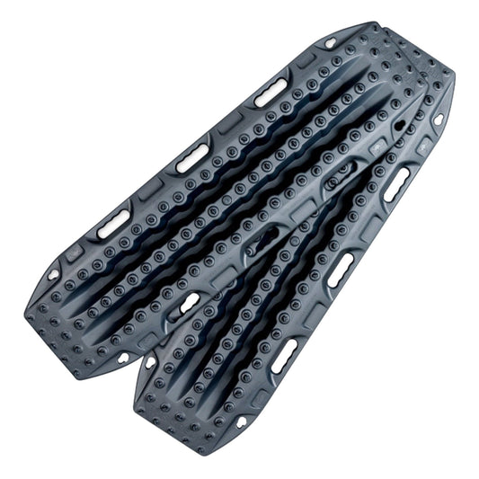
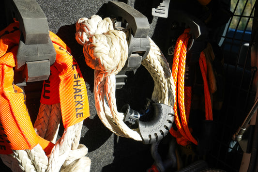
Luckily, I was bogged upslope and had given up before digging myself too deep. I knew my MAXTRAX would help, but this time reached for the twin lockers, steered hard downhill and manage to crawl my way to the firmer sand in the gully and reverse out. It was a lazy recovery, which is my favourite kind.

Eucla National Park

Eucla National Park is a stunning place to break up the long trip across Australia. It’s definitely worth the diversion.

Back to blog

EXPLORE OUR SHOP

ADVENTURE CURATED APP

Escaping the responsibilities of everyday life isn’t easy. The Adventure Curated app brings fun to the planning process and is the perfect place to document your dream trips and get organised so they happen!

Trip Planner is an iOS, macOS, Android and Web app. One subscription works on every device and can be shared by family members, plus your data cloud syncs, ready for you to continue your planning wherever you are.

Learn More
  • Madigan Line

    Madigan Line

    The Madigan Line ended up on my bucket list after my first Simpson Desert trip with Gen. We had headed down the Hay River Track to Birdsville and then back...

    Madigan Line

    The Madigan Line ended up on my bucket list after my first Simpson Desert trip with Gen. We had headed down the Hay River Track to Birdsville and then back...

  • Anne Beadell Highway

    Anne Beadell Highway

    On a whim, I decided I needed some desert time. I had my eye on the Madigan Line in the Simpson Desert and settled on the Anne Beadell Highway as...

    Anne Beadell Highway

    On a whim, I decided I needed some desert time. I had my eye on the Madigan Line in the Simpson Desert and settled on the Anne Beadell Highway as...

  • MAXTRAX Indeflate

    MAXTRAX Indeflate

    The MAXTRAX Indeflate is a straightforward tool for airing up and down that can be operated standing. We reviewed the Indeflate when it was first released in 2018. Recently Indeflate...

    MAXTRAX Indeflate

    The MAXTRAX Indeflate is a straightforward tool for airing up and down that can be operated standing. We reviewed the Indeflate when it was first released in 2018. Recently Indeflate...

1 of 3
  • Piccaninny Gorge

    Piccaninny Gorge

    Within the World Heritage-listed Purnululu National Park lies the spectacular Piccaninny Gorge, the largest within the Bungle Bungle Range. It’s a multi-day hike, one of the few places you’re likely...

    Piccaninny Gorge

    Within the World Heritage-listed Purnululu National Park lies the spectacular Piccaninny Gorge, the largest within the Bungle Bungle Range. It’s a multi-day hike, one of the few places you’re likely...

  • Overland Track

    Overland Track

    To describe Cradle Mountain as magical is an understatement, but the mystery of what lies further into this wilderness lured us to tackle the Overland Track. A short year after...

    Overland Track

    To describe Cradle Mountain as magical is an understatement, but the mystery of what lies further into this wilderness lured us to tackle the Overland Track. A short year after...

  • How to Source and Use Topographical Maps

    How to Source and Use a Topographic Map

    I’ve never met a person who doesn’t love looking at a map. Whether it’s a map of your local park, topographic map or a world globe, they give us opportunities...

    How to Source and Use a Topographic Map

    I’ve never met a person who doesn’t love looking at a map. Whether it’s a map of your local park, topographic map or a world globe, they give us opportunities...

1 of 3