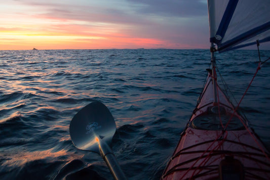
The joy of travelling is often the collection of micro adventures along the way. In the warmer months we are always drawn to the cooling winds and waters of the sea, and after a day on the road few rewards are greater than getting out on the water to explore.

The Southern Ocean is often hostile, but where it pokes between the rocks lie some of Australia’s most stunning inlets.

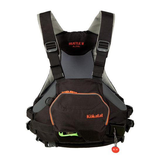
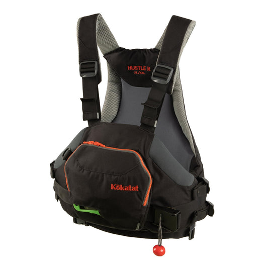
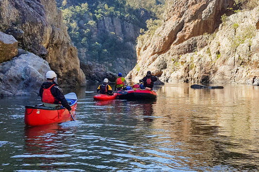
While some have boat ramps or launch spots, many do not. This is where smaller craft like canoes and kayaks come in to their own. In a matter of minutes it’s easy to be unloaded and away.

The waters of Waychinicup Inlet are pristine. The mouth of the inlet is deep and built from rock, so unlike other waterways it does not seasonally block with sand. The surging Southern Ocean freely pumps the inlet clean, the water is so clear!

The rugged and rocky hills climb steeply from the ocean, and it’s their presence that really makes this place so special.

The rocky shoreline is mesmerising and is home to shady hideaways to escape the midday sun, and warm rocks to lay upon after a refreshing dip.

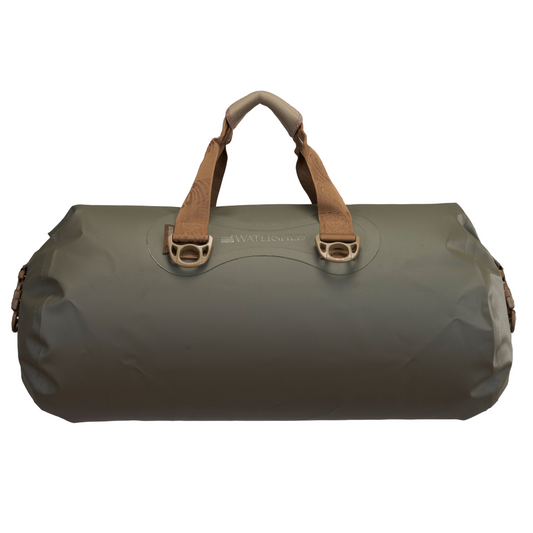
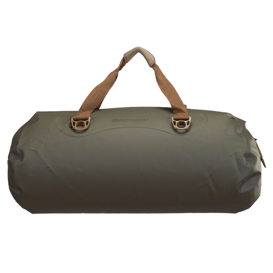
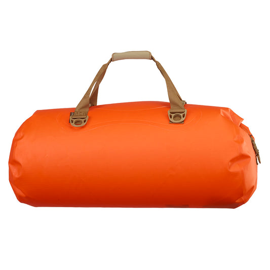
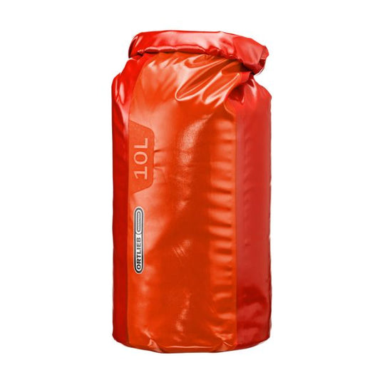
If your heading away this summer pack your canoe, it will make your time camping places like this that little bit more special.

Back to blog

EXPLORE OUR SHOP

ADVENTURE CURATED APP

Escaping the responsibilities of everyday life isn’t easy. The Adventure Curated app brings fun to the planning process and is the perfect place to document your dream trips and get organised so they happen!

Trip Planner is an iOS, macOS, Android and Web app. One subscription works on every device and can be shared by family members, plus your data cloud syncs, ready for you to continue your planning wherever you are.

Learn More
  • Madigan Line

    Madigan Line

    The Madigan Line ended up on my bucket list after my first Simpson Desert trip with Gen. We had headed down the Hay River Track to Birdsville and then back...

    Madigan Line

    The Madigan Line ended up on my bucket list after my first Simpson Desert trip with Gen. We had headed down the Hay River Track to Birdsville and then back...

  • Anne Beadell Highway

    Anne Beadell Highway

    On a whim, I decided I needed some desert time. I had my eye on the Madigan Line in the Simpson Desert and settled on the Anne Beadell Highway as...

    Anne Beadell Highway

    On a whim, I decided I needed some desert time. I had my eye on the Madigan Line in the Simpson Desert and settled on the Anne Beadell Highway as...

  • MAXTRAX Indeflate

    MAXTRAX Indeflate

    The MAXTRAX Indeflate is a straightforward tool for airing up and down that can be operated standing. We reviewed the Indeflate when it was first released in 2018. Recently Indeflate...

    MAXTRAX Indeflate

    The MAXTRAX Indeflate is a straightforward tool for airing up and down that can be operated standing. We reviewed the Indeflate when it was first released in 2018. Recently Indeflate...

1 of 3
  • Piccaninny Gorge

    Piccaninny Gorge

    Within the World Heritage-listed Purnululu National Park lies the spectacular Piccaninny Gorge, the largest within the Bungle Bungle Range. It’s a multi-day hike, one of the few places you’re likely...

    Piccaninny Gorge

    Within the World Heritage-listed Purnululu National Park lies the spectacular Piccaninny Gorge, the largest within the Bungle Bungle Range. It’s a multi-day hike, one of the few places you’re likely...

  • Overland Track

    Overland Track

    To describe Cradle Mountain as magical is an understatement, but the mystery of what lies further into this wilderness lured us to tackle the Overland Track. A short year after...

    Overland Track

    To describe Cradle Mountain as magical is an understatement, but the mystery of what lies further into this wilderness lured us to tackle the Overland Track. A short year after...

  • How to Source and Use Topographical Maps

    How to Source and Use a Topographic Map

    I’ve never met a person who doesn’t love looking at a map. Whether it’s a map of your local park, topographic map or a world globe, they give us opportunities...

    How to Source and Use a Topographic Map

    I’ve never met a person who doesn’t love looking at a map. Whether it’s a map of your local park, topographic map or a world globe, they give us opportunities...

1 of 3